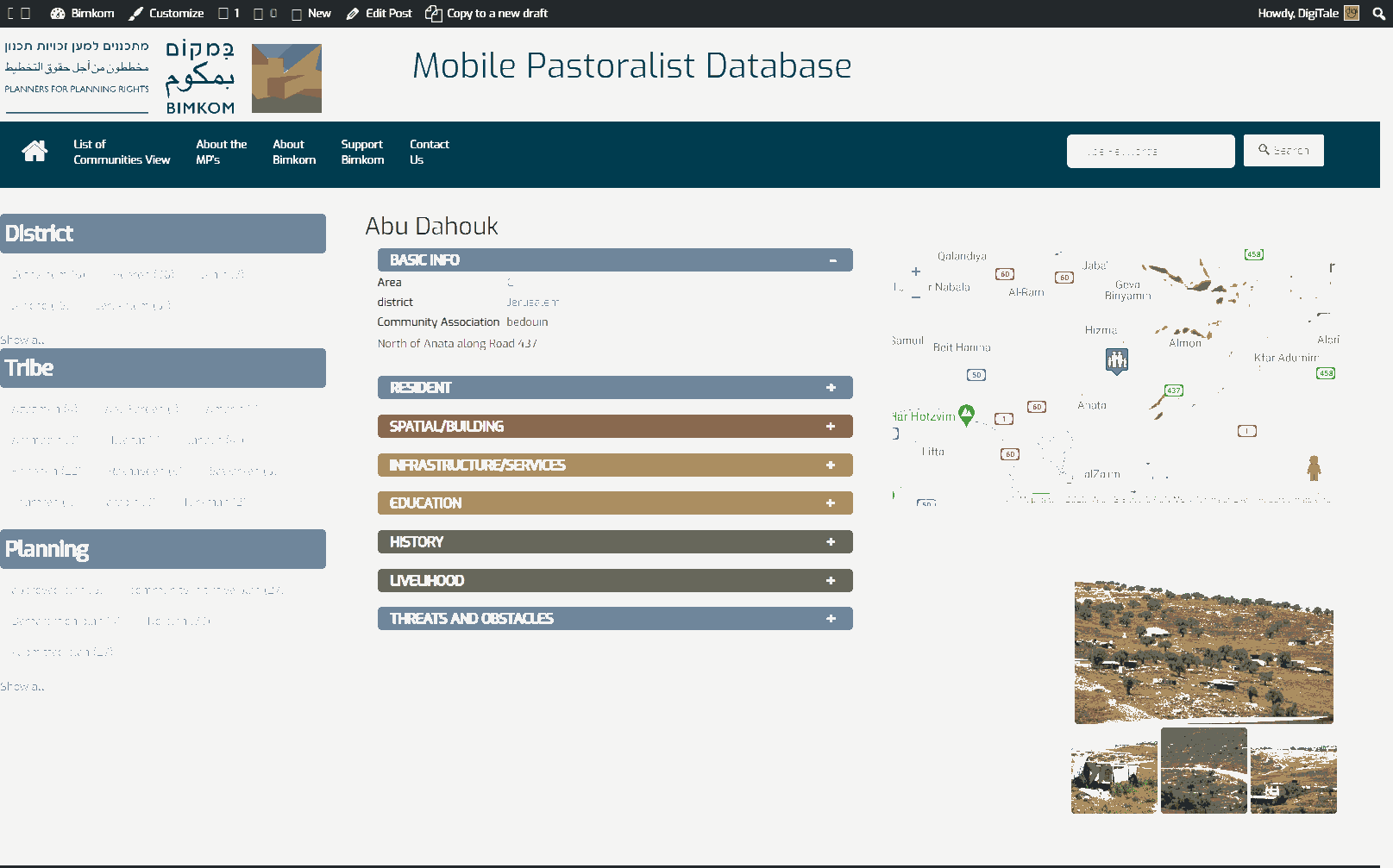
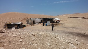
Jerusalem periphery, along Road 1
Wadi al Qilt
Resident
Number of Families
12
Names of Families
Kaabneh
Refugees
official refugee status
Spatial/Building
Land Ownership
state owned land
Planning
community initiative plan
Structure Type
- tin shack
- EU shack
Infrastructure/Services
Access to Community
private vehicle
Access to Community - details
One dirt road leads to the community, it is in very bad condition
Water Access
connection to neighboring village
Electric Connection
Health Care
clinic in distant town/village
Health Care - details
Health services are located in Al-Jabar, Jericho.
Location of Services
Jericho
Education
Kindergarten
No
Location of School #1
Al-Jabal
general description [school #1]
- Boys
- Girls
- Primary school
- Middle school
- High School
Distances to schools [school #1]
1001 - 2000 meters
Time to schools [school #1]
31 minutes - 1 hour
Travel to school [school #1]
difficult walk
Accessibility to school [school #1]
7
History
History
The community has lived in this place since the early 80s.
livelihood
Seasonal Movement
no
Community Initiatives
no Initiatives
Other Occupation
- shepherding
- tourism
Main Occupation
shepherding
Woman's Occupation
- taking care of the herd
- taking care of the kids
- housekeeping
Threats and obstacles
Threats and Obstacles
fjfxjsfjsyjsyj
nature reserve
Threats and Obstacles - details
The community is regularly inspected by both the ICA and the Israel Nature and Park Authority, who at time investigates the shepherds.
Number of Demolition Orders
49
Number of Demolitions
7
Demolitions - date of update
September 17, 2010


