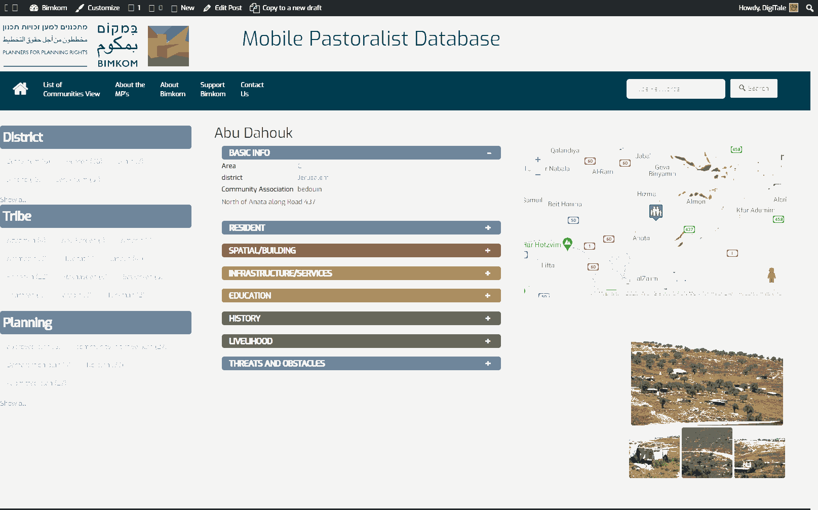
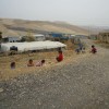
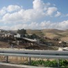
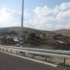
East of Jerusalem, north of road no'1, on the way between Jerusalem and Jericho
Khan al Ahmar Abu Al-Helw
Resident
Number of Families
33
Tribe
testing the tooltip
Jahalin
Sub-Tribe
Abu Dahouk
Names of Families
Abu Dahouk
Refugees
- official refugee status
- non-official refugee status
Refugees Details
Expelled from the Negev -Tel Arad area in 1948.
Spatial/Building
Land Ownership
- private
- lease
- expropriation
Land Ownership - details
The land is under an expropriation order from 1975.
The community has lease contracts with the landowners from Anata.
The community has lease contracts with the landowners from Anata.
Planning
community initiative plan
Planning - details
The community submitted different versions of their own plans, but those were refused by the the ICA. The last detailed plan was submitted in the name of the owners from Anata and the community. The plan was prepared by a Palestinian engineer and submitted with the support of Bimkom, but it has been rejected by the Israeli authorities.
Structure Type
- tent
- tin shack
Building materials - details
wood, tin, cloth
Infrastructure/Services
Access to Community
- pedestrian
- private vehicle
- 4X4 vehicle
Access to Community - details
There is access to the community through a dirt road coming from the gas station to the northeast, which can only be used with a 4X4 vehicle.
Most of the community does not have direct access and use dirt roads reaching from other communities in Khan Al-Ahmar, and pass through the drainage tunnel beneath the road.
All access depends on weather conditions.
Prior to 2018, the community did not have access to the main road.
Most of the community does not have direct access and use dirt roads reaching from other communities in Khan Al-Ahmar, and pass through the drainage tunnel beneath the road.
All access depends on weather conditions.
Prior to 2018, the community did not have access to the main road.
Water Access
authorized connection
Water Access - details
Authorized connection to Mekorot, the Israeli water compant. (Filling point- regional for Khan Al-Ahmar communities)
Electric Connection
Electric Connection - details
The community originally received solar panels from the PA, but these were confisacted by the Israeli governemnt. Since then, they've received solar panles from Comet-ME, which they currently use. The solar panels 100 NIS per month and provide a limited amount of electricity.
Health Care
clinic in distant town/village
Health Care - details
Clinics are in Anata and Al-Eizariya. Hospitals are in Ramallah and Jericho.
A mobile clinic visits one a month, with insufficient medicines and services.
The community receives free health care from Jericho due to their refugee staus.
A mobile clinic visits one a month, with insufficient medicines and services.
The community receives free health care from Jericho due to their refugee staus.
Location of Services
Anata, Al-Eizariya, Ramallah, Jericho
Education
Kindergarten
No
Location of School #1
Abu al Helw
general description [school #1]
- Boys
- Girls
- Primary school
- Middle school
Distances to schools [school #1]
0-300 meter
Location of School #2
Jericho
Time to schools [school #1]
under 5 minutes
general description [school #2]
- Girls
- High School
Time to schools [school #2]
16 - 30 minutes
Distances to schools [school #2]
more than 5001 meters
Location of School #3
Jericho
general description [school #3]
- Boys
- High School
Distances to schools [school #3]
more than 5001 meters
Time to schools [school #3]
16 - 30 minutes
Schools - details
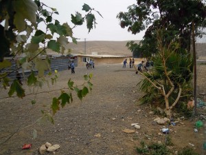
The local school was built with the help of "Vento de terra" from mud and tires in 2009. It serves all five localities of Khan Al Ahmar (about 160 students from 1st to 8th grade). Before this, girls wouldn't attend school, as it was too difficult and dangerous for them to reach the schools in Jericho. Teachers come from Anata and other Bedouin communities. Their access depends on weather conditions.
The school in Abu Al Helw is the only option in the area for other communities, therefore if it will be demolished there won't be any alternative for the children. The school for 11th and 12th grade is in Jericho, for which the PA provides a bus, but the bus frequently breaks or is delayed.
The school in Abu Al Helw is the only option in the area for other communities, therefore if it will be demolished there won't be any alternative for the children. The school for 11th and 12th grade is in Jericho, for which the PA provides a bus, but the bus frequently breaks or is delayed.
Travel to school [school #1]
easy walk
Travel to school [school #2]
bus
Travel to school [school #3]
bus
Accessibility to school [school #1]
1
Accessibility to school [school #2]
3
Accessibility to school [school #3]
3
Accessibility to school - STAFF [school #1]
5
Accessibility to school - STAFF [school #2]
3
Accessibility to school - STAFF [school #3]
3
History
History
After being expelled from the Negev in 1948, the community came to this area and kept moving all over the lands of Anata, Al-Eizariya, and Abu Dis until they finally settled permanently in this location during the 70's. After arriving to Khan Al-AHmar, Abu Helw became the community center, though they would frequently leave the area in search of water and other materials, always returning.
livelihood
Seasonal Movement
partly
Seasonal Movement - details
Few families go in the winter their herds to Nabi Musa area. They also go there in the summer for the wells when they lack water.
Community Initiatives
woman employment
Initiative in the community - details
The classrooms in the school are used for teaching illiterate women as well as for other courses. Women are also involved in a new project of making and selling dolls.
The school Yard is used for public events like weddings.
The school Yard is used for public events like weddings.
Other Occupation
- shepherding
- daily laborer
- unemployed
Main Occupation
- shepherding
- daily laborer
- unemployed
Woman's Occupation
- taking care of the herd
- taking care of the kids
- housekeeping
General Livelihood - details
The community has about 500 sheep and goats
Threats and obstacles
Threats and Obstacles
fjfxjsfjsyjsyj
- firing zone/closed military zone
- nature reserve
- close to settlement
- within settlement municipal boundary
- settler violence
- separation barrier
- road
Threats and Obstacles - details
The community is under imminent threat of eviction and relocation. Most of the grazing areas were declared as closed military areas or as nature reserves.
Number of Demolition Orders
79
Number of Demolitions
14
Demolitions - details
The community reports that they received demolition orders for all its structures, including the school. The state offered alternative lots for the community to inhabit in Jabal West, and the supreme court agreed to the demolitions. While entire demolitions have not occured, extenstions of buildings are frequently demolished.

