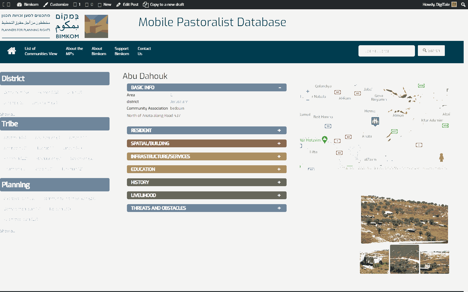
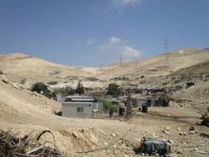
Jerusalem periphery, adjacent to the quarry next to road 437
Kassarat
Resident
Number of Families
36
Tribe
testing the tooltip
Jahalin
Sub-Tribe
Araa'ra
Names of Families
Araa'ra
Farmers Origin/Family
Tel Arad- Negev
Refugees
- official refugee status
- non-official refugee status
Spatial/Building
Land Ownership
- private
- state owned land
- expropriation
Land Ownership - details
Part of the area is within the expropriation order of Ma'aleh Adumim
Planning
community initiative plan
Planning - details
A plan was submitted which included several of the communities in the area, yet the ICA never acknowledged the plan and today the legal procedures are frozen.
Structure Type
- tent
- tin shack
- EU shack
- wood
Infrastructure/Services
Access to Community
- private vehicle
- public transit
Access to Community - details
Public transport reaches the community
Water Access
water tank
Water Access - details
they were connected to the nearest quarry with water, until 2012 when the owner has changed and the latest have decided to cut them from services ever since. Today they buy water in tanks.
Electric Connection
Electric Connection - details
They were connected to the nearest quarry, but in 2012 the owners changed and has cut the community off. Since February of 2019 they get electricity from solar panels.
Health Care
clinic in distant town/village
Health Care - details
The nearest clinics are in Anata. The nearest hospital is in Jericho
Location of Services
Anata and Jericho
Education
Kindergarten
yes
Kindergarten - details
Established in 2018
Location of School #1
Anata
general description [school #1]
- Boys
- Primary school
- Middle school
- High School
Distances to schools [school #1]
more than 5001 meters
Location of School #2
Anata
Time to schools [school #1]
16 - 30 minutes
general description [school #2]
- Girls
- Primary school
- Middle school
- High School
Time to schools [school #2]
16 - 30 minutes
Distances to schools [school #2]
more than 5001 meters
Distances to schools [school #3]
more than 5001 meters
Time to schools [school #3]
16 - 30 minutes
Travel to school [school #1]
bus
Travel to school [school #2]
bus
Accessibility to school [school #1]
3
Accessibility to school [school #2]
3
Accessibility to school [school #3]
3
History
History
After being expelled from Tel Arad in 1948, the community came to the area often in between seasonal grazing (Izbeh) periods, until they finally settled down at the 80's on these lands.
livelihood
Seasonal Movement
partly
Seasonal Movement - details
During the summer the sheperds move with the herds the area of Jaba'
Community Initiatives
no Initiatives
Other Occupation
- shepherding
- herd without shepherding
- daily laborer
Main Occupation
- shepherding
- herd without shepherding
Woman's Occupation
- taking care of the herd
- taking care of the kids
- housekeeping
General Livelihood - details
The number of the community's herds has been reduced due to the decrease of grazing lands. Today they own about 1000 sheep/goats and 40 camels. The herds can rarely be taken out for grazing. In the summer the herds are taken to Jaba' area for Izbeh (seasonal grazing).
They sell dairy products in Anata, A-Ram, and Al-Eizariya
They sell dairy products in Anata, A-Ram, and Al-Eizariya
Threats and obstacles
Threats and Obstacles
fjfxjsfjsyjsyj
- close to settlement
- within settlement municipal boundary
- within settlement plan
- road
- quarry
- Wastewater treatment facility
Threats and Obstacles - details
A police station nearby and the surrounding settlements restricts the community's grazing area. Part of the community is within the E1 Plan.
A wastewater facility nearby pollutes their water and brings bad odors and mosquitoes.
A wastewater facility nearby pollutes their water and brings bad odors and mosquitoes.
Number of Demolition Orders
32
Number of Demolitions
2


