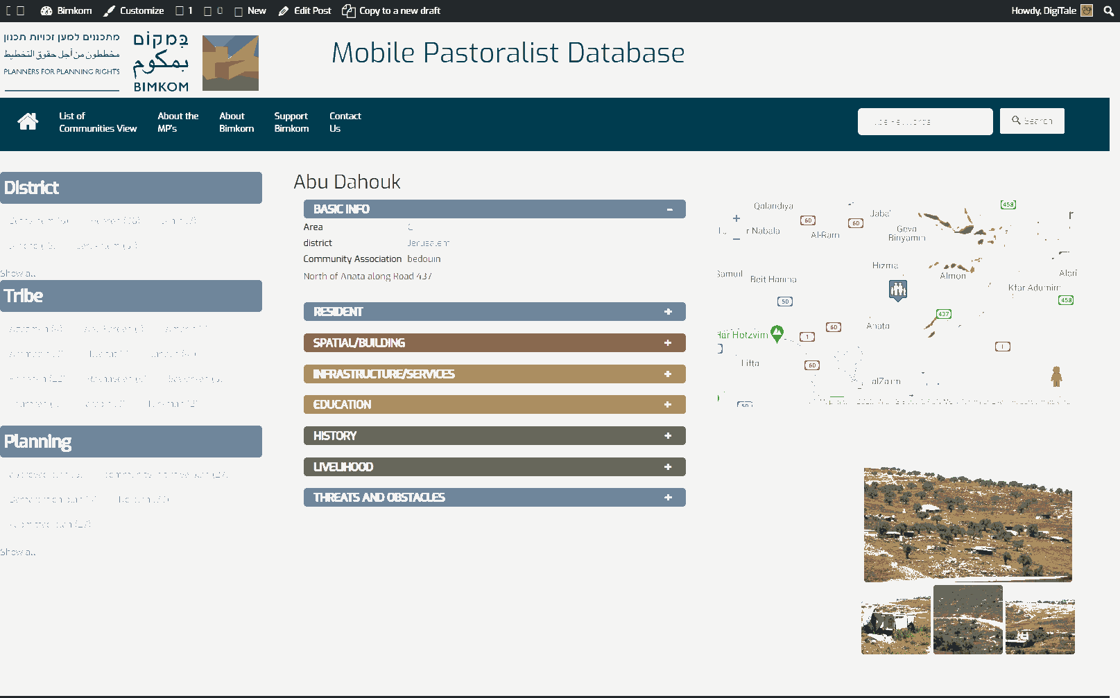
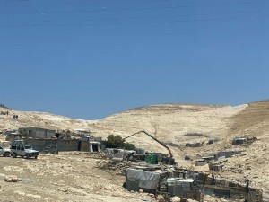
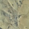
Jerusalem periphery, north east of Road 437, and southwest of Kfar Adumim settlement.
Ghawaliya
Resident
Number of Families
16
Tribe
testing the tooltip
Jahalin
Sub-Tribe
Salamat
Names of Families
Ghawaliya (Abu-Ghaliya)
Farmers Origin/Family
Bir Esabea' - Tal A'rad
Refugees
- official refugee status
- non-official refugee status
Refugees Details
From Tal A'rad
Spatial/Building
Land Ownership
- private
- lease
- state owned land
Land Ownership - details
Part of the community leases lands from Anata residents, and another part sits on registered state lands.
A small part of the locality is within the jurisdictional border of Ma'ale Adumim and E1.
A small part of the locality is within the jurisdictional border of Ma'ale Adumim and E1.
Planning
community initiative plan
Planning - details
As part of a petition for court, a regional plan for the surrounding localities was prepared.
Structure Type
- tent
- tin shack
- EU shack
- wood
Infrastructure/Services
Access to Community
- private vehicle
- public transit
Access to Community - details
Cars are forbidden to stop along the road, and high fines are given to those who do. Therefore public transport and taxis rarely serve the community.
Water Access
- water tank
- spring
Water Access - details
They fill their tanks near Khan al Ahmar, below the bridge by Mikorot. Some risk going to Ein Fara spring.
Electric Connection - details
The community uses solar panels for electricity.
A high voltage line crosses the community and serves the surrounding settlements, but the community was never connected to it.
A high voltage line crosses the community and serves the surrounding settlements, but the community was never connected to it.
Health Care
- mobile clinic in community
- clinic in distant town/village
Health Care - details
A mobile clinic visits them once a month. The nearest clinic is in Al Eizariya and the nearest hospitals are in Ramallah and Jericho.
Location of Services
Al-Eizariya, Ramallah and Jericho
Education
Kindergarten
No
Location of School #1
Anata
general description [school #1]
- Boys
- Primary school
- Middle school
- High School
Distances to schools [school #1]
more than 5001 meters
Location of School #2
Anata
Time to schools [school #1]
16 - 30 minutes
general description [school #2]
- Girls
- Primary school
- Middle school
- High School
Time to schools [school #2]
16 - 30 minutes
Distances to schools [school #2]
more than 5001 meters
Distances to schools [school #3]
more than 5001 meters
Time to schools [school #3]
16 - 30 minutes
Travel to school [school #1]
bus
Travel to school [school #2]
bus
Travel to school [school #3]
bus
Accessibility to school [school #1]
4
Accessibility to school [school #2]
4
Accessibility to school [school #3]
4
History
History
The community was expelled in 1948 towards Hebron And Bethlehem from Tel Arad. They reached their current location looking for water sources and grazing lands. Since the area was confiscated and declared part of Ma'ale Adumim settlement in 1975, they can no longer move seasonally and sit in the area during the entire year.
livelihood
Seasonal Movement
partly
Seasonal Movement - details
Sometimes the shepherds manage to go for seasonal grazing (Izbeh) in the winter to Nabi Musa, but for a very short period of about 10 days.
Community Initiatives
no Initiatives
Other Occupation
- shepherding
- herd without shepherding
- unemployed
Main Occupation
- shepherding
- herd without shepherding
- unemployed
Woman's Occupation
- taking care of the herd
- taking care of the kids
- housekeeping
General Livelihood - details
Grazing lands have been severely restricted due to the surrounding settlements and today most of the community doesn't shepherd but feed their herds with fodder.
They have about 200 sheep which are barely sufficient for the use of the community.
They have about 200 sheep which are barely sufficient for the use of the community.
Threats and obstacles
Threats and Obstacles
fjfxjsfjsyjsyj
- close to settlement
- within settlement municipal boundary
- within settlement plan
- settler violence
- road
- Wastewater treatment facility
Threats and Obstacles - details
Within the E1 plan.
The community suffers from severe limitations on grazing lands and access to water sources.
The sewage lines from the nearby settlements pass close by the locality en route to the sewage treatment facility located at the lower part of the wadi and when there are malfunctions and leaks in the lines, residents are subjected to foul odors and pollution.
Number of Demolition Orders
13
Number of Demolitions
1
Demolitions - date of update
September 17, 2010

