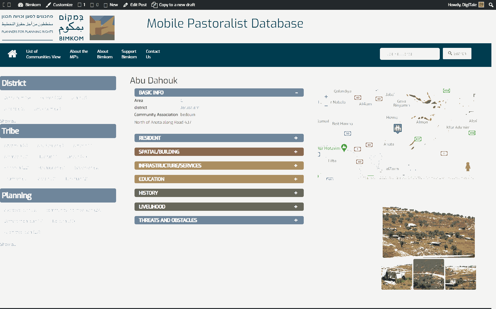
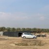
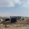
Jordan Valley, west of Road 90
Deir Hajla
Resident
Number of Families
6
Tribe
testing the tooltip
Jahalin
Sub-Tribe
Abu Dahouk
Names of Families
Abu Dahouk
Farmers Origin/Family
Originally from Tel Arad in the Negev
Refugees
official refugee status
Refugees Details
They hold UN refugee cards
Spatial/Building
Land Ownership
private;church
Planning
No plan
Structure Type
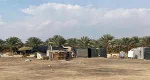
tin shack;wood
Building materials - details
wood, plastic, metal columns
Infrastructure/Services
Access to Community
private vehicle
Access to Community - details
There is an agricultural dirt road from the western side of road 90 across from the monastery. Another agricultural dirt road leads from the community to Jericho.
Water Access
water tank
Water Access - details
A water connection to the monastery of Deir Hajla is for agricultural uses. Drinking water is bought from Jericho in tanks. As of December 2022 the water price was 200 NIS for 5 cubes.
Electric Connection - details
Connected to Deir Hajla Monastery
Health Care
mobile clinic in community;clinic in distant town/village
Health Care - details
The UN clinic and the Jericho government hospital
Location of Services
All government services are located in Jericho except for the cemetery which is in the Nabi Mousa area.
Education
Kindergarten
No
Location of School #1
Jericho
general description [school #1]
Boys;Girls;Primary school;Middle school;High School
Distances to schools [school #1]
more than 5001 meters
Time to schools [school #1]
over 1 hour
Schools - details
Sometimes there is a private transport that drives the children to school , a distance that takes ten minutes. When the car is unavailable the children have to walk more than an hour to the 'Oqbat Jaber mixed school in Jericho.
Travel to school [school #1]
difficult walk;donkey;private car
Accessibility to school [school #1]
6
History
History
In 1948 the community was expelled from their original homeland in Tel Arad. They moved to an area in the Bethlehem region near Za'atara and Wadi Ata'amreh. In later years they migrated north with their herds and settled next to the monastery Deir Hajla in the Jordan Valley. They lived there for around 20 years and were on good terms with the monastery which provided electricity and work opportunities. In 2021 the ICA forced them to move 300 meters away. The ICA returned to threaten the community with demolition in March 2022, and they dismantled all of their structures themselves. They moved to the other side of Road 90 and rebuilt, but in June 2022 the ICA demolished their homes. Although they have since rebuilt, they fear future demolitions and face regular Israeli drone surveillance.
livelihood
Seasonal Movement
partly
Seasonal Movement - details
They move to the area of Anabi Saleh and Quruntul in the hot months.
Other Occupation
shepherding;herd without shepherding;daily laborer;They work seasonally in Palestinian palm fields
Main Occupation
shepherding;herd without shepherding
Woman's Occupation
taking care of the herd;taking care of the kids;housekeeping;herd products
Threats and obstacles
Threats and Obstacles
fjfxjsfjsyjsyj
close to settlement;road
Threats and Obstacles - details
They used to graze their herds north of the monastery but lately the settlement of Beit Hogla prevents their access. In addition, the nearby military base prevents access to a local spring.
Number of Demolition Orders
30
Number of Demolitions
3

