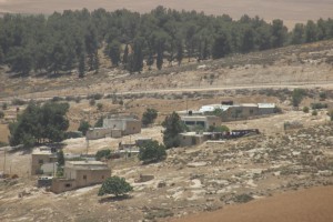
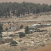
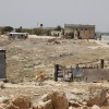
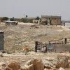
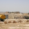
South Hebron Hills, kilometer north of Green Line
Arab al Fureijat
Resident
Number of Families
40
Refugees
- official refugee status
- non-official refugee status
Spatial/Building
Land Ownership
private
Planning
approved plan
Planning - details
A special outline plan with a limited area was approved for the village in the 90's.
Structure Type
- tin shack
- concrete
- stone
Infrastructure/Services
Access to Community
private vehicle
Water Access
- connection to neighboring village
- cistern\well
Water Access - details
The community is connected to the village of Ramadin. The wells are used for washing purposes only.
Electric Connection
Electric Connection - details
connected by the PA
Health Care
- clinic in neighboring community
- clinic in distant town/village
Health Care - details
The clinic in Fureijat has been closed. The community uses the clinics in Dahariya and Hebron
Location of Services
Dahiriya, Ramadin, Hebron
Education
Kindergarten
Unknown
Location of School #1
Fureijat
general description [school #1]
- Boys
- Girls
- Primary school
- Middle school
Location of School #2
Ramadin
general description [school #2]
- Boys
- Girls
- High School
Schools - details
The school in Fureijat was built in 2002. Some continue their higher education in the university in Hebron
Accessibility to school [school #1]
1
Accessibility to school [school #2]
6
History
History
The community is originally from Be'er Sheva. They arrived to Fureijat after 1948.
livelihood
Seasonal Movement
no
Other Occupation
- shepherding
- temporary employment in Israel
Main Occupation
- shepherding
- temporary employment in Israel
Threats and obstacles
Threats and Obstacles
fjfxjsfjsyjsyj
separation barrier
Number of Demolition Orders
48
Number of Demolitions
11
Demolitions - date of update
September 17, 2010
Demolitions - details
According to the community, demolitions took place in the 90's. The community is regularly visited by the ICA.

