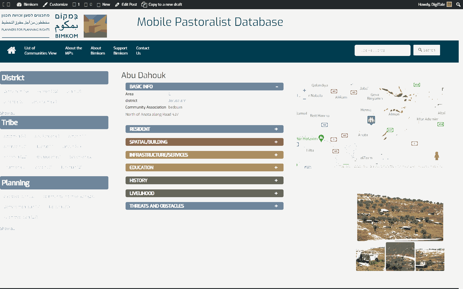
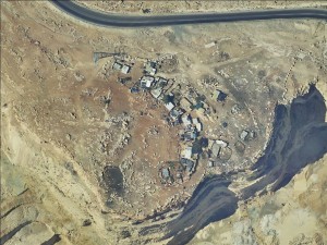
Jerusalem periphery, south to Road 437. western to Khan Al-Ahmar , north to a quarry
Al Fuqara
Resident
Number of Families
10
Tribe
testing the tooltip
Jahalin
Names of Families
Al-Faqeer
Refugees
official refugee status
Spatial/Building
Land Ownership
- private
- lease
- state owned land
Land Ownership - details
Most of the lands are privately owned by residents of Anata, except for a small part which is declared state land and falls into Ma'ale Adumim jurisdictional border.
Planning
community initiative plan
Planning - details
A plan for the community was submitted to court as part of a regional plan for all the communities in the area.
Structure Type
- tent
- tin shack
- EU shack
- wood
Infrastructure/Services
Access to Community
private vehicle
Access to Community - details
A dirt road which is connected to road 437 leads to the community.
Water Access
- water tank
- connection to neighboring village
Water Access - details
The community relies mostly on water tanks, and they buy water from the quarry nearby
Electric Connection
Electric Connection - details
Though they live next to high voltage electricity, the community was never connected. Solar panel were installed in the community in 2017.
Health Care
- mobile clinic in community
- clinic in distant town/village
Health Care - details
The Al-Islah mobile clinic comes once a month and provides limited services. The nearest clinics are in Al-Eizariya and Anata and the nearest hospital is in Ramallah.
They receive health insurance from the PA.
They receive health insurance from the PA.
Location of Services
Anata
Education
Kindergarten
No
Location of School #1
Anata
general description [school #1]
- Boys
- Girls
- Primary school
- Middle school
- High School
Distances to schools [school #1]
1001 - 2000 meters
Time to schools [school #1]
16 - 30 minutes
Schools - details
Most students drop out of high school, nowadays they have children in elementary and intermediate school only (about 5). They go to school by transportation provided by the PA
Travel to school [school #1]
bus
Accessibility to school [school #1]
2
History
History
The community was expelled from the Negev in 1948. They arrived to this area in search of grazing lands in the beginning of 50's, and settled a few hundred meters to the south. They were forcibly removed to their current location in 1982 in order to connect the entrance of the quarry with the main road.
livelihood
Seasonal Movement
partly
Seasonal Movement - details
Sometimes the community goes to graze in Nabi Musa for one month around March.
Community Initiatives
trees
Initiative in the community - details
Several trees were planted some years ago, which provide shade during the summer.
Other Occupation
- herd without shepherding
- unemployed
Main Occupation
- herd without shepherding
- unemployed
Woman's Occupation
- taking care of the herd
- taking care of the kids
- housekeeping
General Livelihood - details
Members of the community used to work in the quarry nearby, but since the owner changed in 2013, all the Bedouin workers were fired.
They own about 100 sheep/goats and sell dairy products in Ramallah, Anata and Al-Eizariya.
They own about 100 sheep/goats and sell dairy products in Ramallah, Anata and Al-Eizariya.
Threats and obstacles
Threats and Obstacles
fjfxjsfjsyjsyj
- close to settlement
- within settlement municipal boundary
- within settlement plan
- quarry
- Wastewater treatment facility
Threats and Obstacles - details
Adjacent to the quarry which causes a lot of pollution of the air and water.
Wastewater run from the settlements next to them on the valley heading to the wastewater treatment station.
Partly falls within E1 expansion plan.
There are no grazing lands, as the community is limited by the road from north and east, and by the quarry from south and west.
Wastewater run from the settlements next to them on the valley heading to the wastewater treatment station.
Partly falls within E1 expansion plan.
There are no grazing lands, as the community is limited by the road from north and east, and by the quarry from south and west.
Number of Demolition Orders
10
Number of Demolitions
0
Demolitions - date of update
September 17, 2010


