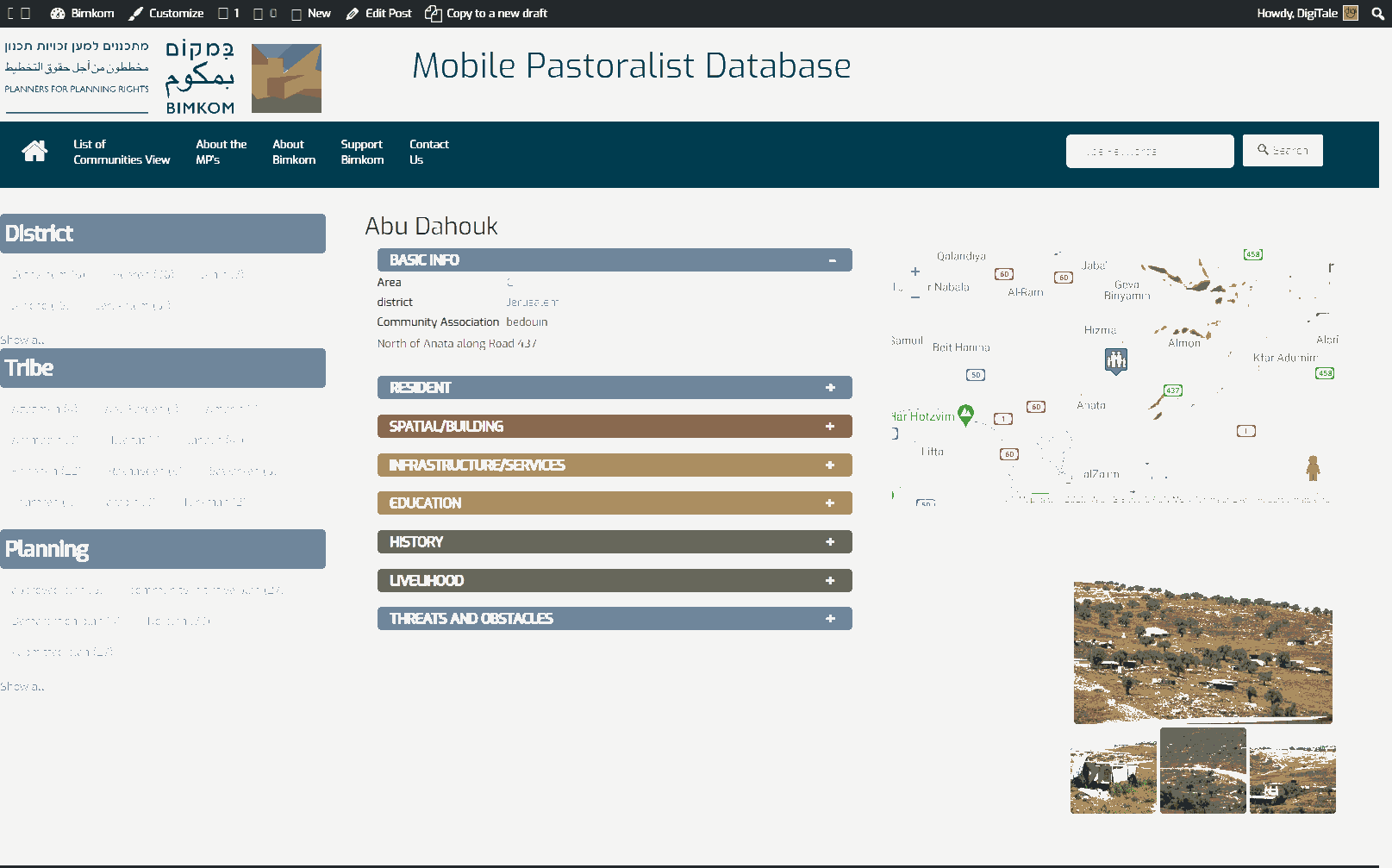
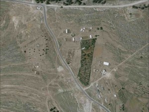
Northern Jerusalem, 1 km. from Jerusalem boundary
Abu Dahouk-Abu Laimon-Beit Iksa
Resident
Number of Families
16
Tribe
testing the tooltip
Jahalin
Sub-Tribe
Abu Dahouk
Names of Families
Abu Dahouk
Farmers Origin/Family
From Tel Arad - Bir Esabea' (Be'er Sheva)
Refugees
official refugee status
Spatial/Building
Land Ownership
- private
- lease
Land Ownership - details
The owners of the land are from Beit Iksa
Planning
No plan
Structure Type
- tent
- tin shack
Infrastructure/Services
Access to Community
private vehicle
Access to Community - details
A checkpoint cuts the community from the rest of the families and from Ramallah district, where they get all their services.
Water Access
- water tank
- connection to neighboring village
Electric Connection
Electric Connection - details
The electricity connection is very week and is not enough for the needs of the community.
Health Care
- clinic in neighboring community
- clinic in distant town/village
Health Care - details
The nearest health centers are in Bidou and Bir nabala
Location of Services
Al Jib and Ramallah
Education
Kindergarten
No
Location of School #1
Beit Iksa
general description [school #1]
- Boys
- Girls
- Primary school
Distances to schools [school #1]
301 - 1000 meter
Location of School #2
Beit Iksa
Time to schools [school #1]
5 - 15 minutes
general description [school #2]
- Boys
- Girls
- Middle school
Time to schools [school #2]
5 - 15 minutes
Distances to schools [school #2]
301 - 1000 meter
Location of School #3
Beit Iksa
general description [school #3]
- Boys
- Girls
- High School
Distances to schools [school #3]
301 - 1000 meter
Location of School #4
Bidou
Time to schools [school #3]
5 - 15 minutes
general description [school #4]
- Boys
- Girls
- High School
Distances to schools [school #4]
2001 - 5000 meters
Time to schools [school #4]
16 - 30 minutes
Travel to school [school #1]
- easy walk
- private car
Travel to school [school #2]
- easy walk
- private car
Travel to school [school #3]
- easy walk
- private car
Travel to school [school #4]
private car
Accessibility to school [school #1]
3
Accessibility to school [school #2]
3
Accessibility to school [school #3]
3
Accessibility to school [school #4]
5
History
History
The community was expelled in 1948 from Bir Esbea' (Be'er Sheva). They settled east of Bethlehem, near Zaa'tara, for two years and then moved to Khan al Ahmar area in search of greener lands. They used to stay in the winter in Khan al Ahmar and in the summer in Nabi Samuel. After the separation barrier was constructed they moved to were they are sitting now. Twenty families were separated from the community by the separation barrier.
livelihood
Seasonal Movement
no
Community Initiatives
no Initiatives
Other Occupation
- shepherding
- agriculture
Main Occupation
shepherding
Woman's Occupation
- taking care of the herd
- taking care of the kids
- housekeeping
- herd products
General Livelihood - details
The community owns about 700 sheep/goats.
The women sell the products from the herds in Beit Iksa and Ramallah.
The women sell the products from the herds in Beit Iksa and Ramallah.
Threats and obstacles
Threats and Obstacles
fjfxjsfjsyjsyj
- close to settlement
- separation barrier
- road
Threats and Obstacles - details
The separation barrier in the west, Al jib checkpoint in the east and the settlements of Giva'at Ze'ev and Givon Hahadashah all severely restrict their movement and their grazing areas.
Number of Demolition Orders
5
Number of Demolitions
0
Demolitions - date of update
September 17, 2010
Demolitions - details
According to residents, the community received demolition orders but at least up until 2015, no demolitions took place.


