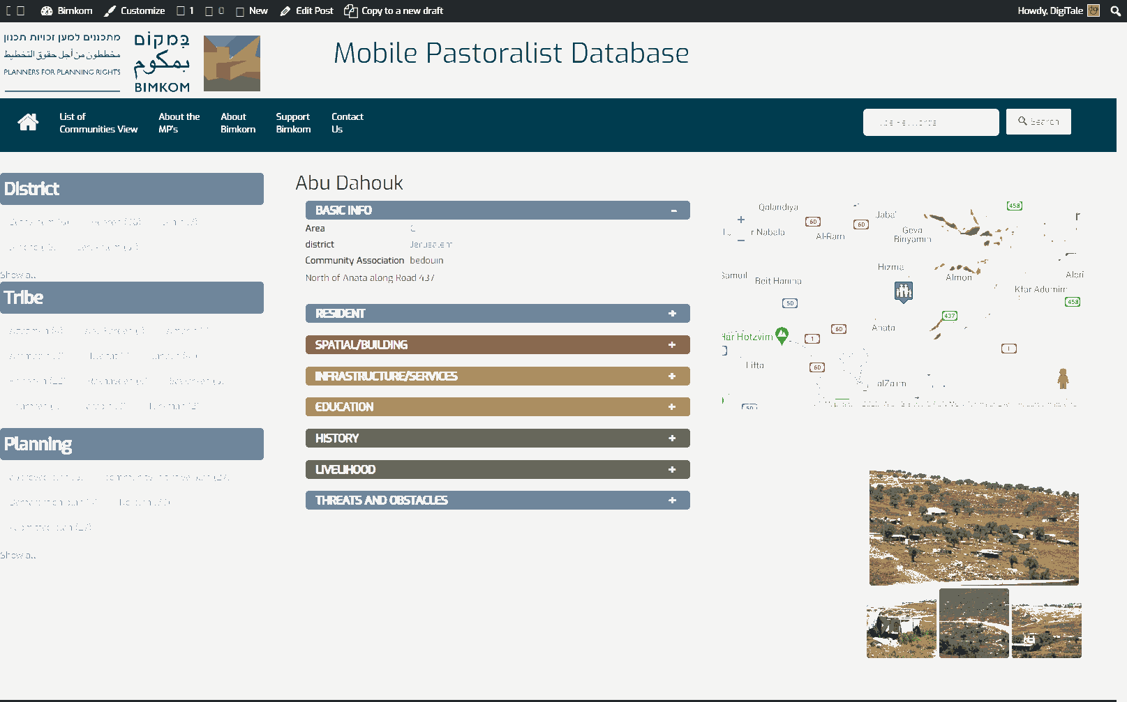
North of Jericho junction of Roads 449 & 458
Mu'arrajat West
Resident
Number of Families
35
Refugees
- official refugee status
- non-official refugee status
Spatial/Building
Land Ownership
- private
- lease
Land Ownership - details
The lands belong to inhabitants of Dir Dibwan
Planning
No plan
Structure Type
- tent
- tin shack
Infrastructure/Services
Access to Community
- pedestrian
- private vehicle
Water Access
water tank
Electric Connection
Health Care
clinic in distant town/village
Health Care - details
The nearest clinics are in A-ram and Taybe. The nearest hospitals are in Jericho and Ramallah.
Location of Services
Ramallah, Jericho
Education
Location of School #1
Mu'arajat
general description [school #1]
- Boys
- Girls
- Primary school
- Middle school
Location of School #2
Jericho
general description [school #2]
- Boys
- Girls
- High School
Accessibility to school [school #1]
6
Accessibility to school [school #2]
6
History
History
The community lives in the area since 1985
livelihood
Seasonal Movement
yes
Seasonal Movement - details
Some families move during the summer months
Community Initiatives
no Initiatives
Other Occupation
- shepherding
- herd without shepherding
Main Occupation
herd without shepherding
General Livelihood - details
The surrounding settlements, particularly Michmas, severely restrict grazing grounds and the community is reliant mainly on feeding instead of grazing their herds.
Threats and obstacles
Threats and Obstacles
fjfxjsfjsyjsyj
close to settlement
Threats and Obstacles - details
The surrounding settlements, particularly Michmas, severely restrict grazing grounds.
The ICA visits and regularly.
The ICA visits and regularly.
Number of Demolition Orders
18
Number of Demolitions
8
Demolitions - date of update
September 17, 2010
Demolitions - details
Demolitions took place in 2008. Constant visits by the ICA


