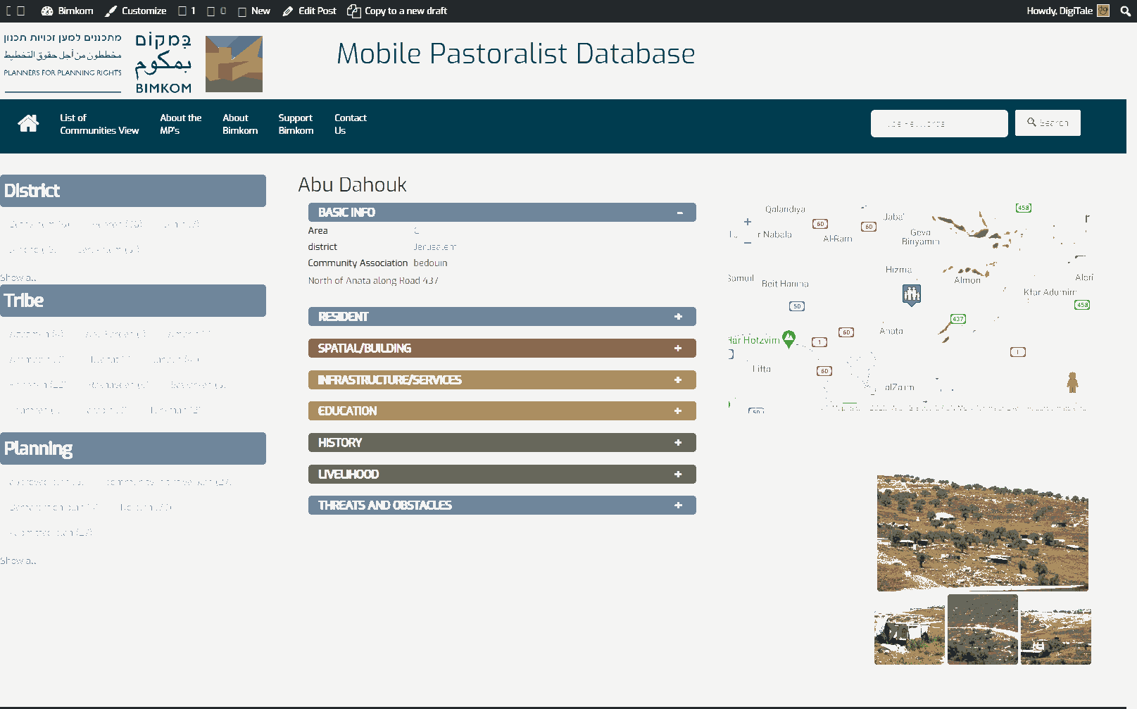
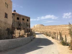
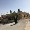
West of Bethlehem, adjacent to Herodian
Jubbet ad-Dhib
Resident
Number of Families
27
Tribe
testing the tooltip
Ta'amreh
Sub-Tribe
El Wahsh
Names of Families
Khamis
Farmers Origin/Family
Beit Taa'mar
Refugees
not refugee
Spatial/Building
Land Ownership
private
Planning
submitted plan
Planning - details
A detailed plan for the nearby village included the built-up area of the community and was submitted in 2010. It received an advanced phase in 2014 but was not published for objections yet.
Structure Type
concrete
Infrastructure/Services
Access to Community
private vehicle
Access to Community - details
A road leading to Za'atra passes through the community. It was paved in 2011.
Water Access
- connection to neighboring village
- cistern\well
Water Access - details
They are connected to a joint network of Beit Taa'mar villages
Electric Connection - details
The community received the approval of the ICA to be connected to the regional grid. The Al Quds company proposed a plan for the electricity network but it has not been approved so far.
Health Care
- permanent clinic in community
- clinic in distant town/village
Health Care - details
The nearest clinic is in Za'atra. The nearest hospital is in Bethlehem.
There is an allocated location for a clinic within the community but it is not equipped and so can't open.
There is an allocated location for a clinic within the community but it is not equipped and so can't open.
Location of Services
Bethlehem and Zaa'tara'
Education
Kindergarten
No
Location of School #1
Jib A Dib - Tah'adi
general description [school #1]
- Boys
- Girls
- Primary school
Distances to schools [school #1]
301 - 1000 meter
Location of School #2
Zaa'tara
Time to schools [school #1]
5 - 15 minutes
general description [school #2]
- Boys
- Girls
- Primary school
Time to schools [school #2]
16 - 30 minutes
Distances to schools [school #2]
2001 - 5000 meters
Location of School #3
Taa'mreh
general description [school #3]
- Boys
- Girls
- Primary school
- Middle school
- High School
Distances to schools [school #3]
2001 - 5000 meters
Location of School #4
Ta'amreh
Time to schools [school #3]
16 - 30 minutes
general description [school #4]
- Girls
- High School
Distances to schools [school #4]
more than 5001 meters
Location of School #5
Ta'amreh
Time to schools [school #4]
31 minutes - 1 hour
general description [school #5]
- Boys
- High School
Distances to schools [school #5]
more than 5001 meters
Time to schools [school #5]
31 minutes - 1 hour
Travel to school [school #1]
easy walk
Travel to school [school #2]
bus
Travel to school [school #3]
bus
Travel to school [school #4]
bus
Travel to school [school #5]
bus
Accessibility to school [school #1]
1
Accessibility to school [school #2]
3
Accessibility to school [school #3]
3
Accessibility to school [school #4]
3
Accessibility to school [school #5]
3
History
History
Originally from Beit Taa'mar
livelihood
Seasonal Movement
no
Community Initiatives
- public building
- woman employment
- agriculture
Initiative in the community - details
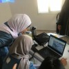
Women learn organic agriculture. They worked on establishing the women committee that represents the needs of the village separately from the local council.
The residents also paved the access road to the community to make the access the schools and serv
The residents also paved the access road to the community to make the access the schools and serv
Other Occupation
- shepherding
- temporary employment in Israel
- agriculture
Main Occupation
- shepherding
- temporary employment in settlement
- temporary employment in Israel
Woman's Occupation
- taking care of the herd
- taking care of the kids
- housekeeping
- self employed
- agriculture
Threats and obstacles
Threats and Obstacles
fjfxjsfjsyjsyj
- close to settlement
- settler violence
Threats and Obstacles - details
Archeological site - The Herodioun site
Number of Demolition Orders
10
Number of Demolitions
2
Demolitions - date of update
September 17, 2010
Demolitions - details
According to residents, demolitions took place in 2007. Some houses have pending demolition orders

